Drone-based 3D Terrain Capture
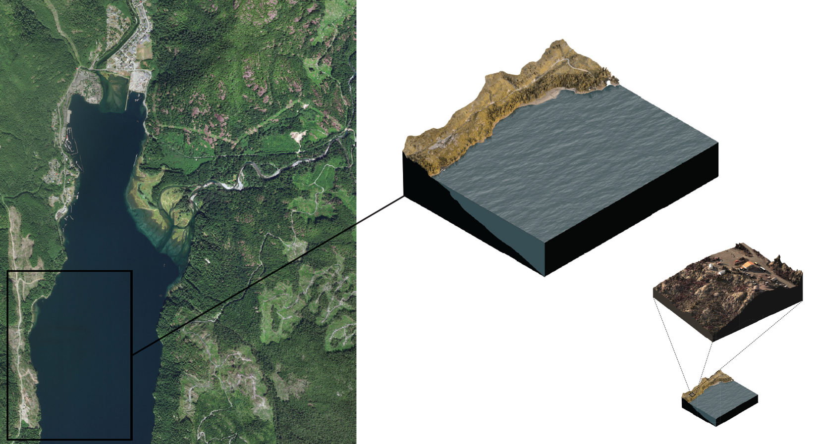
| Capture accurate 3D information with photogrammetry or LiDAR technologies that can be deployed on a regional scale or more detailed site scale. | |
| Monitor and protect vital cultural, archaeological and environmental resources in your territory. | |
| Create high resolution orthophoto mosaics for more accurate and detailed photo-based info about your lands. | |
| Share experiences of far-away sites with Elders and other less mobile community members through web/accessible 3D models or virtual reality. | |
| Once the model is created, share information about the land through animations, VR experiences and more. |